From storm image to lead list
in under 5 minutes.
No GIS skills. No address lookup. No data team. Pick a storm and go.
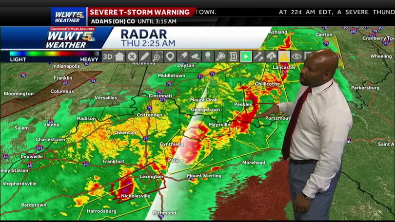
Pick a storm from our radar archive
Pick a storm. Skip the upload.
We capture every NWS hail and wind alert in real time and keep 14 days on file. Pick the one that hit your market and skip the upload entirely. Got your own map? Drop it on the order page anytime.
- Every NWS alert from the last 14 days
- Pre-scored — Storm Score on every map
- Or drop your own image / radar capture
AI reads the map and outlines every zone
AI reads the storm. Outlines every zone.
Our model pulls the storm footprint, cross-references live NWS alerts, and ranks every heat zone with our Storm Score. Extreme, Very Severe, Severe, and Watch tiers — auto-detected, color-coded, ready to filter.
- Four severity tiers auto-detected
- Powered by live NWS + IEM archives
- End-to-end in about ten seconds
Live filter clicks — the count updates instantly
Tick the filters. Watch the count update.
Owner-occupied. Roofs 10+ years old (the replacement sweet spot). Commercial AND residential. Tick what fits your crew — the lead count updates with every click. Free to explore until the list looks right.
- Live count on every filter change
- Owner-occupied · roof age · use class
- Suppress past orders — never pay twice
Review the order — every lead, every dollar
Itemized pricing. No surprises.
Total leads. Residential vs commercial split. Skip-tracing toggle. Per-lead price and total — itemized before anything is charged. Confirm with one click.
- See the exact total before you pay
- Skip-trace toggle for phones + emails
- Residential / commercial split shown
Checkout and download — verified leads ready to call
Checkout. Download. Hit the doors.
One click to confirm, and your CSV lands in your account — addresses, owners, phones, emails, Storm Score tier, 50+ fields. Drop it in your dialer and start knocking.
- CSV + Excel export, 50+ data points
- No-match skip credits auto-refund
- Storm Score tier on every row
Everything you need.
Nothing you don't.
- Custom storm scoring modelEvery alert graded against live NWS data and tier-classified — five tiers, built for roofing claim potential. Chase the storms that pay, not every yellow blob.
- Roofing permit data across all 50 statesPermit records ingested nationwide, refreshed hourly. Track competitor activity at the state level. Spot heating markets before anyone else.
- Verified contractors from state licensing boardsActive rosters pulled from state licensing boards, cross-referenced against the permits we collect. See who is licensed, who is pulling permits, who is a ghost.
- Any map format worksRadar screenshots, weather PDFs, insurance bulletins, even a phone photo of your TV. If you can see the storm, we can read it.
- Free instant property countUpload the map, set filters, see the exact match count before you pay a cent. No surprise totals at checkout.
- Phones and emails on every recordResidential: up to 5 phones + 3 emails for 1 credit. Commercial: up to 10 phones + 6 emails for 5 credits — pulled from target property and mailing address.
- Suppression so you never pay twiceAlready pulled a record? Toggle suppression — it drops out of the count and the price. Works against your full order history.
- 50+ data points per recordCounty assessor data, mortgage, pre-foreclosure flags, permit history, ownership history. All included. No upsell.
- Team accounts with role-based accessAdd reps with permissions that match their job. Billing stays with the owner; credits and exports stay with the people doing the work.
Get around the LLC. Connect with the actual person.
Commercial deeds read "Holdings LLC" — a mailbox, not a human. Our commercial skip pulls contacts from both the target property and the LLC mailing address — straight to the decision-maker who signs the check.